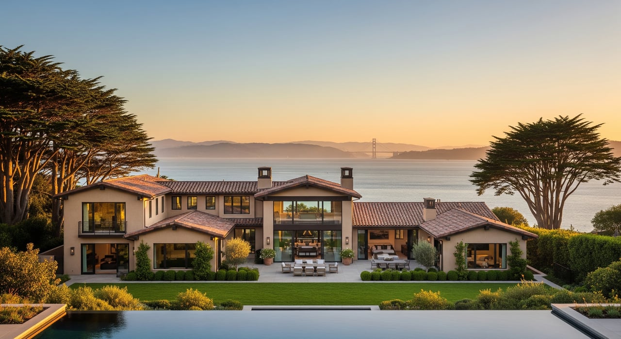
Thinking about building a wine country retreat with sweeping views? In Sonoma and Napa, those vistas are protected for the public, which means your plans need to fit within scenic resource rules. You want a smooth permit path and a home that blends into the landscape. This guide breaks down what counts as a scenic resource, how to check your parcel, what permits to expect, and the design moves that help you get to yes. Let’s dive in.
What counts as scenic resources
Scenic resources are public-facing visual features like ridgelines, panoramic vistas, landmark trees, and open-space landscapes. Agencies review whether your project would alter or block the public’s experience of these views. Caltrans’ visual review guidance explains how these resources are assessed during permitting and environmental review using standard methods.
In Sonoma County, the General Plan maps three categories that guide review: Scenic Landscape Units, Scenic Corridors, and Community Separators. These designations influence density, siting, and design review, and are shown on county GIS layers used by staff and applicants.
In Napa County, the Viewshed Protection Program limits development on major and minor ridgelines, flags slopes of 15 percent or more, and requires permits for projects visible from designated public roads. The county applies these standards through building and use-permit review under Chapter 18.106.
Find out if you are mapped
Sonoma parcel checks
Confirm if your site sits in a Scenic Landscape Unit, Scenic Corridor, or Community Separator. If it does, expect discretionary design standards or density limits. Start by reviewing Sonoma’s General Plan maps and GIS layers available to the public.
Napa parcel checks
Check whether your building area is on a slope of 15 percent or more, near a defined ridgeline, or visible from a designated public road like Silverado Trail. These conditions can trigger a viewshed permit under Napa’s code for Chapter 18.106.
Permits and review steps
- Start with a pre-application check. County staff will confirm if a viewshed or design review is required and flag slope, tree, or fire constraints.
- If triggered, be ready to submit a site plan, elevations, and photo simulations or a formal Visual Impact Assessment.
- Projects along official or eligible State Scenic Highways face added scrutiny and may not qualify for some CEQA exemptions. Learn how scenic highway status affects review in the State Scenic Highway System overview.
- Visual Impact Assessments follow standard methods for viewpoints, simulations, and mitigation strategies. See the FHWA’s accepted VIA guidelines.
Counties actively apply these programs. Recent files in CEQAnet show viewshed findings and mitigation conditions used for homes, wineries, and vineyard projects in current cases.
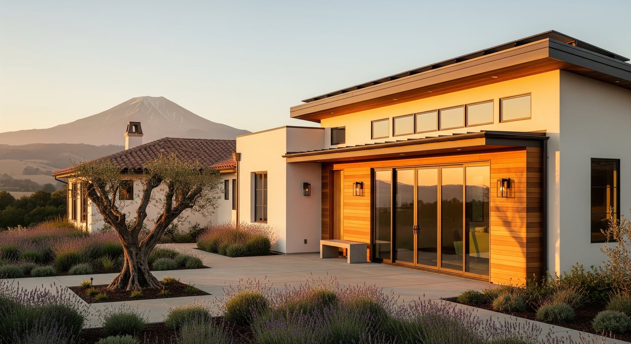
Design moves that pass review
Site for low visibility
Avoid skylining structures on ridges. Site below ridgelines or on back slopes so the roofline does not break the horizon. Napa’s viewshed rules and Sonoma’s scenic policies prioritize locations that protect public views as defined in Napa’s code.
Right size and massing
Lower the perceived height and break up mass. Step buildings into the slope, recess upper levels, and favor single-story profiles where feasible. Photo simulations help demonstrate reduced visual bulk.
Colors and materials
Choose non-reflective, low-contrast finishes that blend with native vegetation and soils. Dark, matte roofs and earth-tone façades are common solutions aligned with visual review practices described by Caltrans.
Trees and landscaping
Retain mature native trees where possible and use native landscaping to screen structures over time. Sonoma’s policy framework often ties tree retention and replanting to permit conditions. See Permit Sonoma’s resources on tree requirements for reference.
Grading and driveways
Limit grading on steep slopes and design driveways to follow natural contours. Minimize long cut-and-fill sections or visible switchbacks. VIA methods and roadway design guidance emphasize contouring and native revegetation under FHWA’s approach.
Night lighting tips
Use down-shielded, low-glare fixtures, minimize lumens, and consider lighting curfews to preserve the rural night sky in scenic areas.
Smart steps before you build
- Check parcel maps first. Confirm Sonoma scenic designations or Napa viewshed triggers before you buy or list.
- Book a pre-application meeting. Ask if a viewshed permit, design review, or VIA is required and what studies to prepare.
- Produce photo simulations early. Show before-and-after views from public vantage points using accepted VIA methods.
- Balance screening and fire safety. Preserve trees where feasible but plan for defensible space and maintenance.
- Budget for specialists. VIA, arborist, biology, geotechnical, erosion control, and fire defensible space plans are common in hillside settings.
- If rebuilding after wildfire, expect current standards. Napa outlines how viewshed rules apply to replacement structures in its fire-damaged properties code.
Timelines and likely outcomes
Smaller projects sometimes get administrative approval within weeks or a few months. Larger homes, wineries, or vineyard conversions that need use permits or CEQA review can take several months to a year, depending on studies and hearings. Recent CEQAnet filings show multi-month processing with mitigation conditions added to reduce visual impacts on active cases.
How we can help
Building or buying in Napa or Sonoma’s scenic areas is absolutely doable with the right plan. You can save time and risk by front-loading parcel checks, choosing low-visibility sites, and designing for natural fit. If you are weighing a move, purchase, or sale that intersects with scenic rules, we can help you develop a practical roadmap and connect that plan to your broader real estate goals.
Ready to align your property plans with scenic guidelines and your long-term strategy? Reach out to Katie & Mark Lederer for clear next steps and high-touch guidance.
FAQs
What is a “scenic resource” in Sonoma and Napa?
- A scenic resource is a publicly visible feature like ridgelines, open-space landscapes, landmark trees, or panoramic views that plans and codes aim to protect through siting, design, and review.
How do I check if my Sonoma parcel is in a Scenic Corridor?
- Review Sonoma’s General Plan GIS layers for Scenic Corridors and related designations, then confirm requirements with county staff using those mapped resources.
When does Napa’s Viewshed Program apply to a new home?
- It applies when the site is on or near mapped ridgelines, has slopes of 15 percent or more, or is visible from designated public roads, which can trigger a viewshed permit.
Do photo simulations really help in the permit process?
- Yes, before-and-after simulations from public viewpoints show how you reduce visibility and are often required in design or viewshed review.
What should I expect if I am rebuilding after a wildfire in Napa?
- Expect current scenic and fire-safety standards to apply, with prior approvals informing what can be replaced and what documentation you will need.