Woodside
A refined roadhouse that has held its Michelin star every year since 2009, with one of the more serious cellars on the Peninsula.
Twenty cities on a peninsula narrow enough to cross in twenty minutes — and three separate counties inside it, divided by a ridge, a fault line, and the fog.
20
Cities & Towns
744K
Residents
57.7 mi
Pacific Coastline
23,000 acres
Peninsula Watershed
Why the west side is empty. The 23,000-acre Peninsula Watershed along Interstate 280 has been closed to the public for roughly a century and a half to protect San Francisco's drinking water — the entire catchment was cleared of habitation when the dams went in. Add the national park lands wrapping Pacifica, the Midpeninsula preserves running the ridge, and the coastal farmland held under Williamson Act contract, and you have a county where the open space is protected four different ways at once. Population is the Census Bureau's July 2025 estimate; the county sits roughly two to three percent below its 2020 count and has since stabilized.
San Mateo County runs from the Daly City fog line south to the Santa Clara border, bounded by the bay on one side and the Pacific on the other. It is not one place. It is three, and the difference between them is the single most useful thing a buyer can understand before touring anything.
The long blue trench in this photograph is Crystal Springs Reservoir, and it sits in the rift valley carved by the San Andreas Fault. Interstate 280 runs alongside it. Everything east of that line is the bayside — flat, built out, employed. Everything west is watershed, ridge, and then a coast that has never been suburbanized because it legally cannot be.
Filoli sits on the watershed property. The fault bisects the Town of Portola Valley. The reason the drive down 280 looks like that is that a water district cleared thirty-five square miles of it more than a century ago and never let anyone back in.
All twenty, plus the coast
≈ 101,300
The county's second-largest city and its most affordable large market. Post-war tract dominates — Westlake is the Henry Doelger development that inspired “Little Boxes” — plus later hillside subdivisions. The best transit position in the county: BART plus the 280/101 split. Coastal bluff and landslide exposure on the western edge.
≈ 103,300
The largest city and the most complete one — a real downtown and the deepest housing variety in the county, from 1920s Spanish and Tudor in San Mateo Park and Baywood down through post-war stock in the flats. The 101/92 junction makes it the best all-directions commute node. East of 101 is bay fill: liquefaction and sea-level-rise exposure.
≈ 82,200
The county seat, and the Peninsula's biggest downtown-revival story of the last fifteen years. Enormously varied — the Mount Carmel and Emerald Hills slopes read nothing like the flats east of El Camino. Redwood Shores is its own market: built on filled Leslie Salt ponds in the 1960s, lagoon-front, and in the Belmont–Redwood Shores district rather than Redwood City's.
≈ 64,900
“The Industrial City,” now the global center of gravity for biotech — which is what drives the market. Modest post-war tract plus hillside stock on Sign Hill, with newer density around the Caltrain station and Oyster Point. The heart of the SFO noise contour, and the city has run a formal residential insulation program for decades.
≈ 42,300
Solidly middle-market post-war tract with real turnover, and a genuine entry point for buyers priced out of Burlingame and Millbrae. Exceptional transit — BART, Caltrain, and 101/280/380. It sits directly under the SFO approach, and the noise contours are the single biggest street-to-street value differentiator here.
≈ 22,900
Small, tidy, and school-driven, with 1940s to 60s ranch and split-level stock on the hills toward 280 and new transit-oriented density at the station. Millbrae Intermodal is the only place in the entire BART system where BART and Caltrain meet — which is this town's central real estate argument. Adjacent to SFO, with the noise that implies.
≈ 31,900
The bayside address that competes with the hill towns on prestige. Burlingame Park and the Easton Addition hold pre-war and 1920s period architecture on tree-lined streets; the flats east of El Camino are more modest. One of only two cities in the county that has grown since 2020. Note that the Broadway Caltrain station has been weekend-and-holiday only since 2005, with weekday service returning after grade separation.
≈ 29,300
“The City of Good Living,” and one of the most competitive per-square-foot markets in the county, driven hard by its school district. Housing climbs from the El Camino flats up through White Oaks and Howard Park into the hills, mostly 1940s to 60s stock with a great deal of second-story remodeling and rebuilding. Hillside lots west of Alameda de las Pulgas need retaining-wall and drainage review.
≈ 28,800
Steep, wooded, and quieter than San Carlos next door, at a small discount to it. The hills are both the appeal and the constraint — slope, driveway grade, and access drive value street to street. Water Dog Lake open space is a genuine amenity. One of only two cities in the county up since 2020.
≈ 32,400
Entirely planned and entirely built on bay fill from the 1960s, organized around a lagoon system, with heavy HOA presence across 1960s to 80s tract, townhomes, and condos. Highway 92 gives it the best East Bay access on the Peninsula. The $90 million levee improvement project, funded by Measure P and completed in 2024, was built to FEMA standards specifically to address flood-zone designation — confirm current accreditation status before relying on it.
≈ 28,900
The county's affordability floor and its fastest-changing market, sitting directly against Palo Alto and Menlo Park — which is the whole arbitrage. Mid-century tract plus significant new multifamily near the 101/University interchange. San Francisquito Creek flood history and bayfront sea-level exposure are the two things to put in front of a buyer.
≈ 4,900
An idiosyncratic small town on the slopes of San Bruno Mountain with eclectic hillside housing, small lots, steep streets, and a fiercely independent identity. Only about three of its twenty square miles are land — the rest is lagoon. The 659-acre Baylands redevelopment is the defining land-use question here, and it is voter-gated.
≈ 1,500
The necropolis. Roughly three-quarters of its 1.9 square miles is cemetery, holding about 1.5 million burials — something like a thousand dead for every living resident. There are only about 526 housing units in the entire town, so it is a curiosity rather than a market. It has its own BART station.
≈ 11,200
Six square miles of purely residential estate property with essentially no commercial base — the town provides its own police, fire, water, and roads. Housing spans 1910s and 20s period revival through mid-century and contemporary rebuilds. Its elementary district is among the most highly regarded in California. Minimum lot sizes and floor-area limits are strict and govern what can be rebuilt.
≈ 7,000
Perennially the most expensive ZIP code in the country. Roughly one-acre minimum zoning, no commercial district, deep tree canopy, and a continuous tear-down-and-rebuild cycle. One thing to know before you repeat the listing copy: Atherton's Caltrain station closed permanently in December 2020. The nearest stations are Menlo Park and Redwood City.
≈ 5,200
Rural and equestrian by ordinance and by culture — horse trails, split-rail fencing, large parcels, no streetlights. Top-tier pricing for a completely different product than Atherton: land, privacy, and trees rather than address. The town publishes formal geologic hazard maps and requires geotechnical reports, so landslide and slope review is a routine part of the transaction here, not an edge case.
≈ 4,500
Nine square miles west of 280 running up to Skyline, with roughly four-fifths of the housing stock single-family and much of it on an acre or more. Architecturally the most California-modern of the hill towns — post-and-beam, redwood, hillside siting. The San Andreas Fault bisects the town, and the fault-zone setbacks and hillside review that follow are real design constraints, not formalities.
≈ 36,900
Nine neighborhoods stitched along the ocean — Linda Mar, Rockaway, Sharp Park, Pedro Point, Vallemar — mostly modest post-war tract with ocean-view premiums, and the county's most affordable coastal ownership. Commute is Highway 1 north or the Devil's Slide tunnels south, and both bottleneck. Active bluff erosion is a live regulatory fight; national park lands wrap the city and permanently cap its growth.
≈ 11,300
The Coastside's only incorporated city and its commercial center, spanning a genuine nineteenth-century downtown, mid-century stock, and resort-adjacent subdivisions near the Ritz-Carlton and Ocean Colony. Two things govern everything here: Measure D limits growth to roughly one to one and a half percent a year and requires an allocation for every new unit including ADUs, and the whole city sits under Coastal Act jurisdiction.
County-governed
Fewer than one in ten residents live in unincorporated San Mateo County, but it is most of the map. On the bayside: Ladera, a 1946 housing cooperative with its own community association and recreation district; Emerald Lake Hills, oak-covered and rustic between three cities; West Menlo Park, which sells as Menlo Park at a school-district premium; the San Mateo Highlands, a tract of more than seven hundred single-story Eichlers built 1956 to 1964; and North Fair Oaks, the largest of them and the county's main affordability story.
Permit-capped
Montara, Moss Beach, El Granada, Princeton-by-the-Sea, and Miramar — unincorporated, Coastal Act, and served by small water and sanitary districts whose capacity has always gated development more than zoning has. The urban Midcoast is under a hard cap of forty housing units a year including ADUs. That cap is currently oversubscribed, and the county is not accepting new residential permit applications until 2028 unless the plan is amended.
Rural
San Gregorio, La Honda, Loma Mar, and Pescadero — genuinely rural, redwood and ranchland, largely off municipal services, where wells and septic are the norm rather than the exception. One of California's smallest unified school districts serves the whole area. Much of the farmland is under Williamson Act contract, which runs with the land. Fire exposure, road access, and emergency response times are the practical buyer issues.
Population figures are U.S. Census Bureau estimates for July 2025, except Brisbane, Colma, and Portola Valley, which fall below the publication threshold and use the 2020 Census. Sixteen of the eighteen cities large enough to have a current estimate sit below their 2020 count; only Belmont and Burlingame have grown.
Twelve Caltrain stations run the length of the county, from South San Francisco down to Menlo Park, and every one of them has been electrified since September 2024 — faster, quieter, and more frequent than the diesel service most listing copy still describes. Six BART stations cover the north county, including the one inside SFO.
Millbrae is the reason this photograph is here. It is the only station in the entire BART system where BART and Caltrain meet, and that single fact underwrites property values for a mile around it.
The two spines run parallel and could not be less alike. Highway 101 carries the bayshore — the jobs, the density, and the congestion. Interstate 280 runs the ridge past the reservoirs, and it is both the fast road and the prestige one. In practice a buyer's commute is usually decided by which cross-connector they inherit: Highway 92 to the coast and the Hayward bridge, Woodside Road to the hills, or Highway 1 through the Devil's Slide tunnels.
Nine across the county
Woodside
A refined roadhouse that has held its Michelin star every year since 2009, with one of the more serious cellars on the Peninsula.
San Mateo
An intimate kaiseki counter serving a single seasonal menu each night. Reservations open a month ahead, by phone.
Atherton
A glamorous mid-century dining room off Woodside Road — the closest thing Atherton has to a restaurant of its own.
Menlo Park
Modern Indian cooking on El Camino Real, singled out by Michelin for exceptional value.
Menlo Park
Farm-driven California cooking on Alameda de las Pulgas, and one of the original Peninsula farm-to-table rooms.
Menlo Park
Rosewood Sand Hill's wood-fired dining room, and the closest thing venture capital has to a company cafeteria.
Redwood City
A reservation-only omakase counter on Arguello Street with a handful of seatings, Tuesday through Saturday.
San Carlos
North Indian cooking on San Carlos Avenue, open daily and a fixture of the Laurel Street neighborhood.
Half Moon Bay
An oceanfront seafood house on Cabrillo Highway, known well beyond the county for its lobster roll.
Michelin distinctions are from the 2026 Michelin Guide California. Worth knowing about and left off only for lack of room: Duarte's Tavern in Pescadero, a James Beard America's Classic still very much open, and Navio at the Ritz-Carlton in Half Moon Bay.
Everything changes at the ridgeline. The climate goes to fog, wind, and salt. The governance goes to the Coastal Act, certified local plans, and Coastal Commission appeal rights. The infrastructure goes to small water districts, wells, and septic systems. And the growth rules go from ordinary to extraordinary.
Half Moon Bay allows roughly one percent growth a year and requires an allocation for every new unit. The unincorporated Midcoast is capped at forty units a year and is currently closed to new applications. Supply on this side of the county is constrained by law, not by economics.
The seasons out here run on the whales, the elephant seals, and the surf. Here is what a year actually looks like.
Month by month, bay to coast
January
Hills greenest, biggest surf
February
Seal pups on the beaches
March
Gray whales heading north
April
Peak green, clear bayside
May
Hills turning gold, fog returns
June
June gloom, then sun
July
Warm bayside, fogged-in coast
August
Peak fog season on the coast
September
Clearest, warmest weeks
October
Golden hills, clear coast
November
First storms, surf season opens
December
Hills green again, king tides
Drag the slider below to move through the year
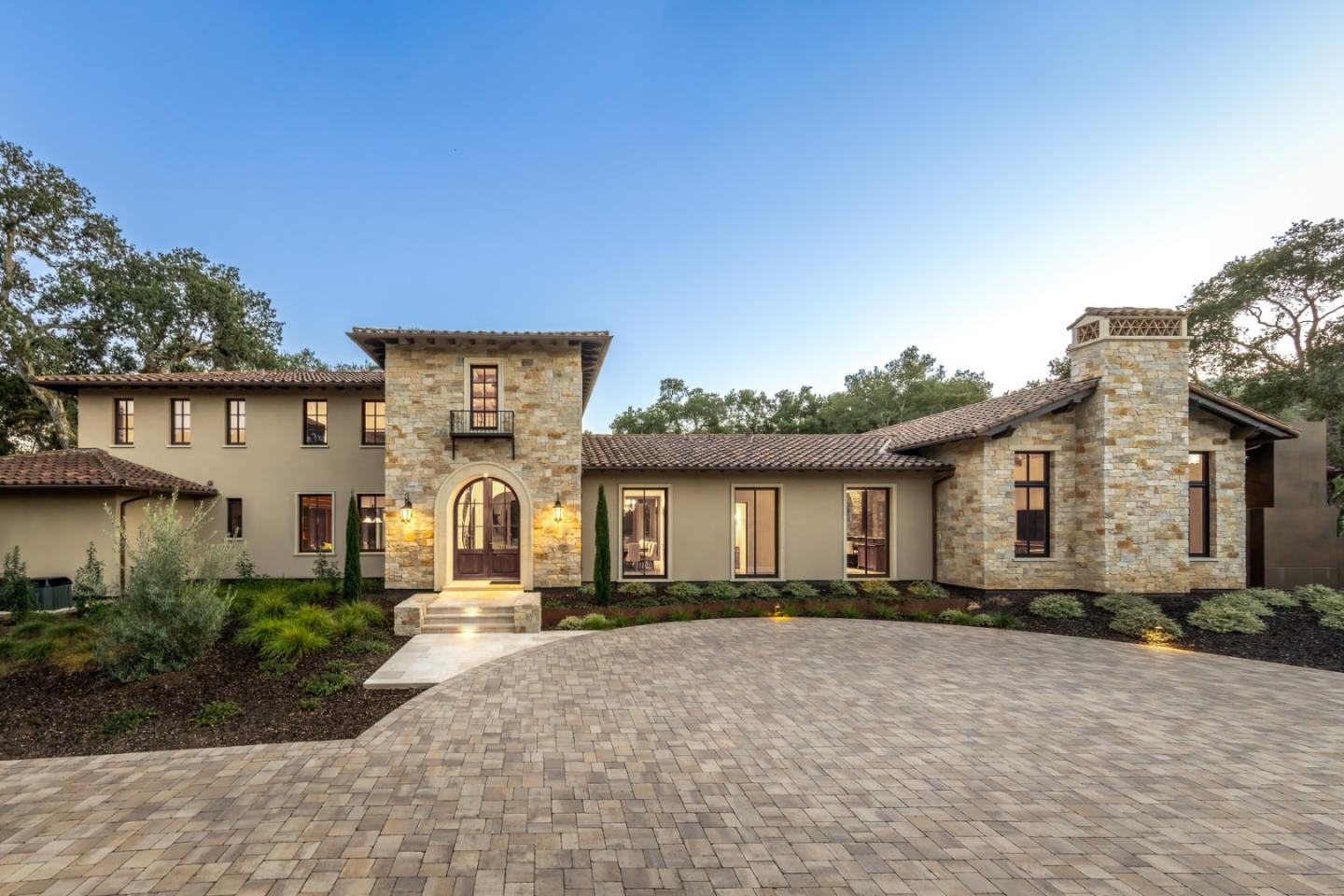
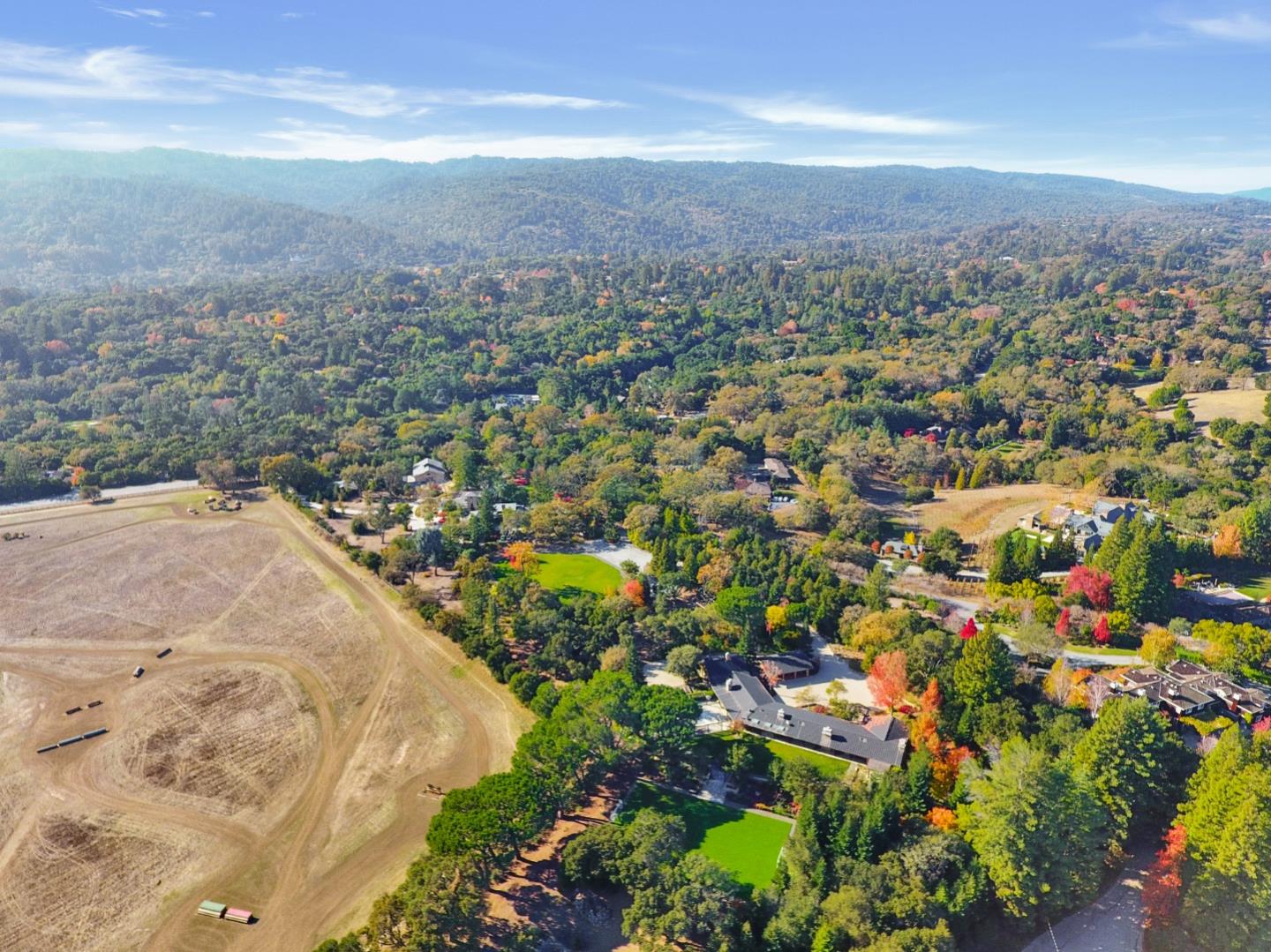
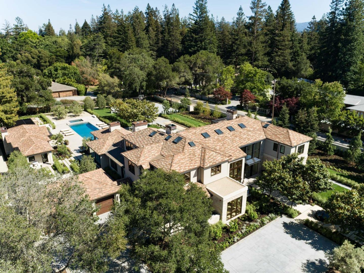
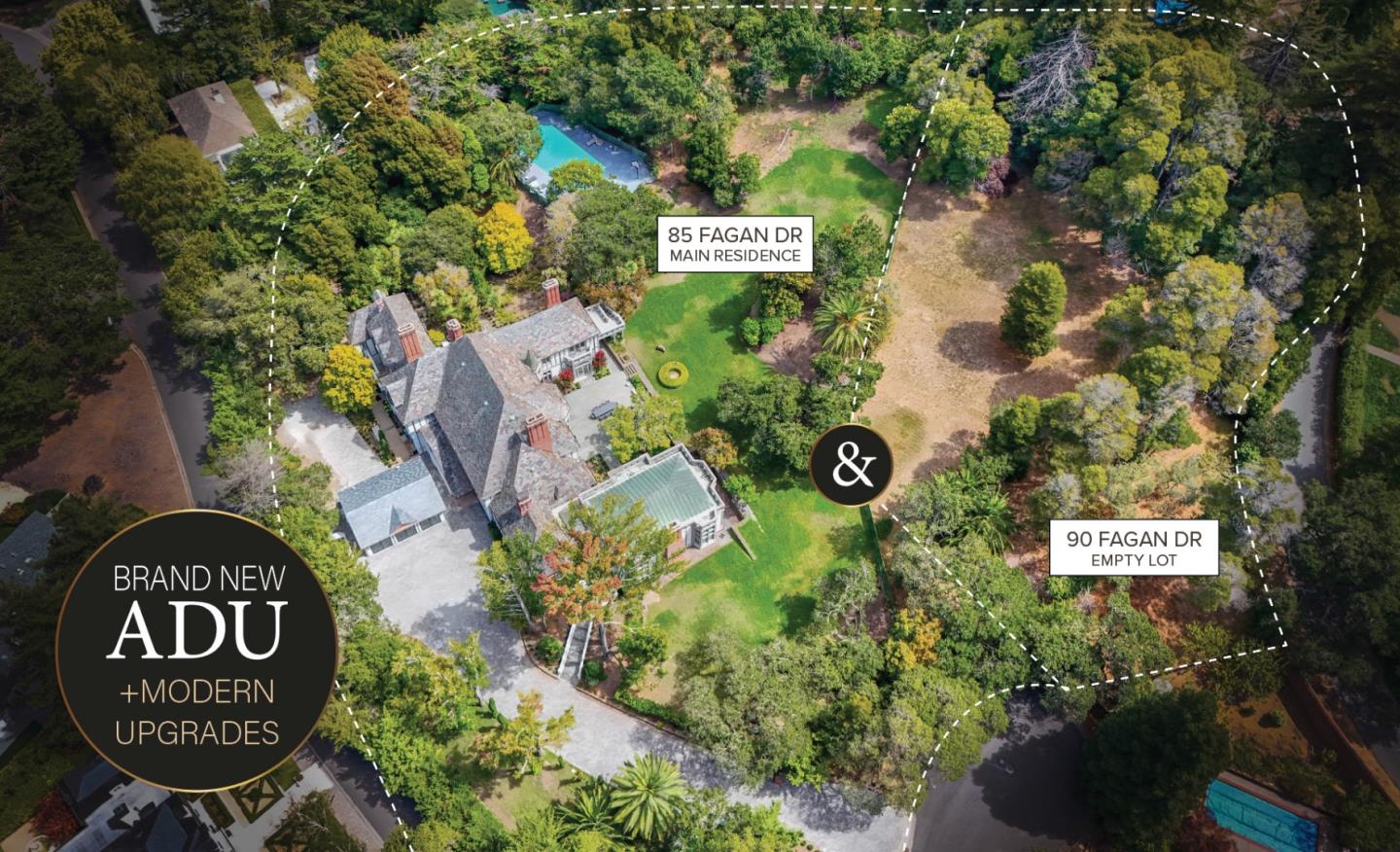
Four towns sit between Interstate 280 and the ridge, and they are four of the most expensive municipalities in the United States. They are not interchangeable. Hillsborough is estate-formal and bayside-adjacent. Atherton is flat, gated, and driven by the address. Woodside is equestrian and rural, with real horse trails and no streetlights. Portola Valley is modernist and hillside, sitting directly on the fault.
What they share is an absence of ordinary infrastructure — minimal commercial zoning, tiny elite elementary districts, often no sidewalks — and a shared structural reality underneath. Landslide zones, unstable slopes, mandatory geotechnical review, and fault setbacks are ordinary transaction items on this side of the county.
What buyers are actually purchasing here is privacy at scale, with a watershed nobody can ever build on as the permanent backdrop.
A 1917 country estate and formal garden on the watershed property in Woodside, with a bloom calendar that runs the whole year.
The elephant seal breeding colony at Pescadero, reached on docent-led walks from mid-December through March.
Purisima Creek Redwoods, Windy Hill, and Russian Ridge — open space running the ridge from Skyline down to the sea.
An 1871 lighthouse on the south coast, one of the tallest in America, under some of the darkest skies in the Bay Area.
Four miles of beach and the Coastside Trail running north from Miramar toward Pillar Point Harbor.
Half Moon Bay and Pacifica, April through December, selling what is grown on the other side of the ridge.
Private
San Mateo County runs an unusual number of very small elementary districts, and city limits are not district lines. Several towns operate their own elementary districts feeding into shared high school districts, and the boundaries do not follow municipal boundaries — Redwood Shores sits in the Belmont–Redwood Shores district rather than Redwood City's, and West Menlo Park and Ladera are both unincorporated but sit in Las Lomitas. Tell us which district you need and we'll identify properties inside it before you tour anything.
745,100 people live in San Mateo, where the median age is 40.6 and the average individual income is $81,980. Data provided by the U.S. Census Bureau.
Total Population
Median Age
Population Density Population Density This is the number of people per square mile in a neighborhood.
Average individual Income
San Mateo has 264,424 households, with an average household size of 2.77. Data provided by the U.S. Census Bureau. Here’s what the people living in San Mateo do for work — and how long it takes them to get there. Data provided by the U.S. Census Bureau. 745,100 people call San Mateo home. The population density is 1,661 and the largest age group is Data provided by the U.S. Census Bureau.
Total Population
Population Density Population Density This is the number of people per square mile in a neighborhood.
Median Age
Men vs Women
Population by Age Group
0-9 Years
10-17 Years
18-24 Years
25-64 Years
65-74 Years
75+ Years
Education Level
Total Households
Average Household Size
Average individual Income
Households with Children
With Children:
Without Children:
Marital Status
Blue vs White Collar Workers
Blue Collar:
White Collar: